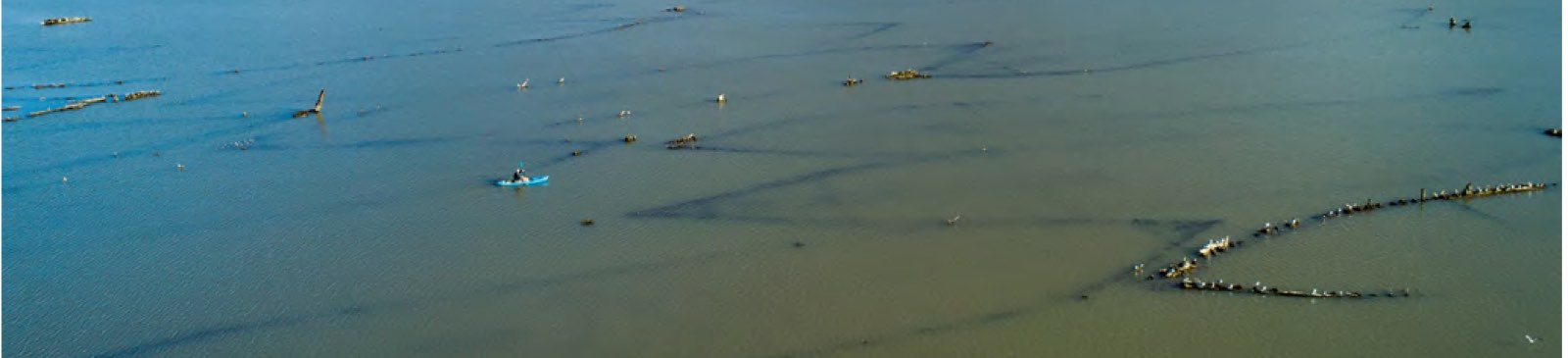

There is no better way to meet the Bay up close. Here is how to get started paddling and kayaking the Bay in Maryland.
Quick answer: For paddling and kayaking the Bay, Maryland has more than 750 miles of water trails in five regions. The state’s Public Water Access Guide maps soft launches for kayaks and canoes. Wear a life jacket: cold water is a leading cause of boating deaths in Maryland.
Contents
Water Trails
Maryland has more than 750 miles of water trails. They are grouped in five regions: Western, Central, Southern, Eastern north and Eastern south. Each trail has a map or guide.[1]
Where to Launch
The Public Water Access Guide shows soft launches, which are made for kayaks and canoes. Fees and rules vary by place.[2]
Stay Safe
Falling into cold water causes many boating deaths in Maryland. Wear a life jacket.[3] Wind can push the water higher or lower than the tide tables.[4]
Follow John Smith
The Captain John Smith Chesapeake National Historic Trail covers more than 3,000 miles of water routes.[5]
Frequently asked questions
How many miles of water trails does Maryland have? More than 750.
Where can I launch a kayak on the Bay? Use the Maryland Public Water Access Guide to find soft launches.
Is kayaking on the Chesapeake Bay safe? With care: wear a life jacket and check wind and tides first.
References
- [1] Maryland DNR, Water Trails in Maryland – last checked 11/08/2026
- [2] Maryland DNR, Maryland Public Water Access Guide – last checked 11/08/2026
- [3] Maryland DNR Natural Resources Police, Boating Safety in Maryland – last checked 11/08/2026
- [4] NOAA Tides and Currents, Operational Forecast System disclaimer – last checked 11/08/2026
- [5] National Park Service, What Is a National Historic Trail? – last checked 11/08/2026
Check the wind on our tides page.