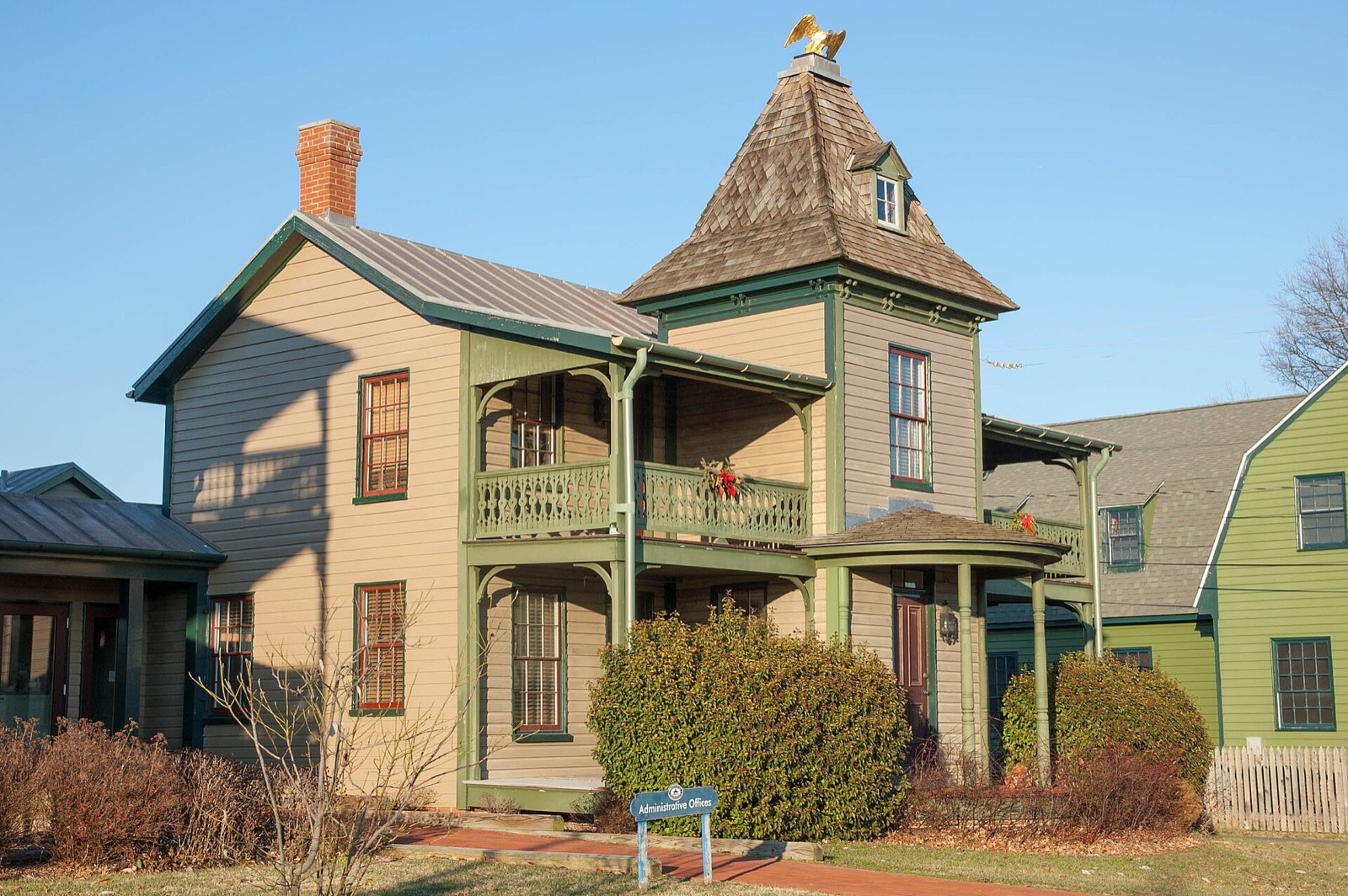

Welcome to our guide to Chestertown, MD. We keep it short: where the town is, who lives there, and what the water is doing today.
Quick answer: Chestertown, MD is in Kent County with about 5,658 residents in 2025. Its tides come from NOAA station 8573343, Chestertown. The closest town in our guide is Rock Hall, about 10 miles away.
Contents
About Chestertown
Chestertown is in Kent County, Maryland.[1] It is an incorporated town. About 5,658 people lived there in 2025. In 2020 it was 5,535.[2]
Tides Today
The tide box on this page shows today’s highs and lows. They come from NOAA station 8573343, Chestertown. NOAA tide tables use only past data. Wind and weather can push the water higher or lower.[3]
Nearby Bay Towns
| Town | Miles away (straight line) |
|---|---|
| Rock Hall | 10 |
| Havre de Grace | 24 |
| Annapolis | 28 |
We measured these from official map points.[1]
Before You Go Out
Check the marine forecast on our tides page first. NOAA says wind forecasts get less sure after one or two days. So check again on the day you go.[3] Then have a good day on the Bay.
Frequently asked questions
What county is Chestertown, MD in? Kent County.
How many people live in Chestertown? About 5,658 residents in 2025, according to the Census Bureau.
Where can I see tides for Chestertown? In the tide box on this page, from NOAA station 8573343.
What Bay town is closest to Chestertown? Rock Hall, about 10 miles away in a straight line.
References
- [1] U.S. Geological Survey, GNIS domestic names files via The National Map – last checked 11/08/2026
- [2] U.S. Census Bureau, City and Town Population Totals: 2020-2025 – last checked 11/08/2026
- [3] NOAA Tides and Currents, Operational Forecast System disclaimer – last checked 11/08/2026
See every town and station on our Chesapeake Bay map.