Chesapeake Bay Map
NOT FOR NAVIGATION – this map is for planning only. Use official NOAA nautical charts on the water.
The Chesapeake Bay lies between Maryland and Virginia, with its northern tip near Delaware. Tap a town for its guide, or a blue dot for today's tides.
Bay towns
- Bed and Breakfasts on the BayPlaces to stay.
- Living on the Chesapeake BayMoving, communities.
- Queenstown Premium Outlets (Bay Bridge Outlets), Kent IslandTop keyword of the site we compete with.
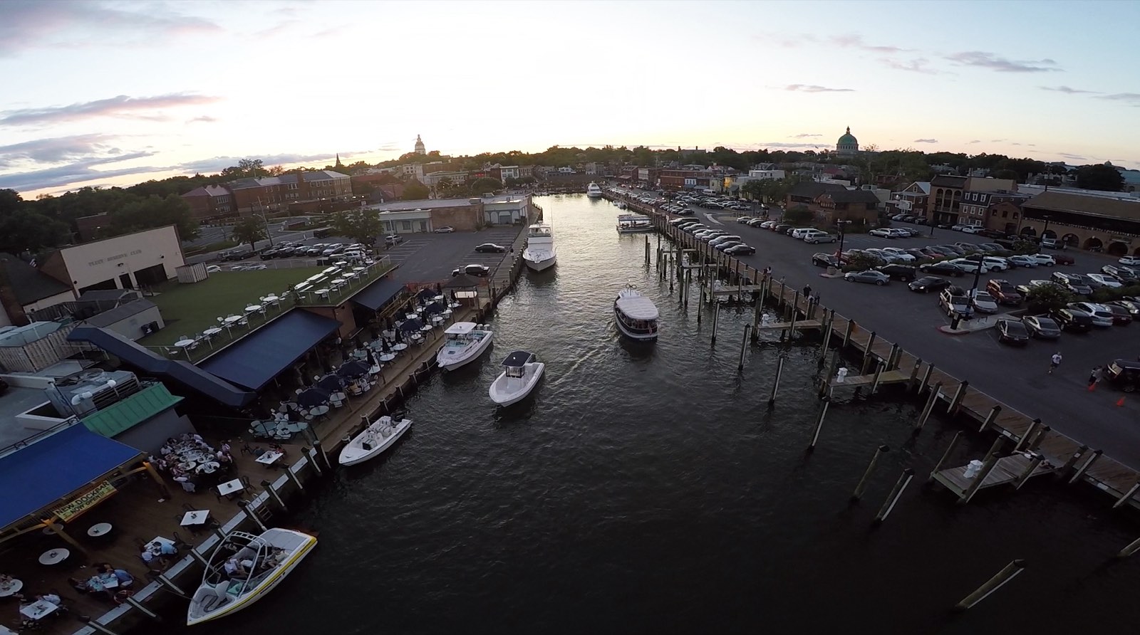
- Annapolis, MarylandTown guide: things to do, where to eat, today's tides and weather at the nearest station.
- Solomons, MarylandTown guide: things to do, where to eat, today's tides and weather at the nearest station.
- St. Michaels, MarylandTown guide: things to do, where to eat, today's tides and weather at the nearest station.
- Chesapeake Beach, MarylandTown guide: things to do, where to eat, today's tides and weather at the nearest station.
- Havre de Grace, MarylandTown guide: things to do, where to eat, today's tides and weather at the nearest station.
- Cambridge, MarylandTown guide: things to do, where to eat, today's tides and weather at the nearest station.
- Rock Hall, MarylandTown guide: things to do, where to eat, today's tides and weather at the nearest station.
- Chestertown, MarylandTown guide: things to do, where to eat, today's tides and weather at the nearest station.
- Crisfield, MarylandTown guide: things to do, where to eat, today's tides and weather at the nearest station.
- Tilghman Island, MarylandTown guide: things to do, where to eat, today's tides and weather at the nearest station.
- Norfolk, VirginiaTown guide: things to do, where to eat, today's tides and weather at the nearest station.
- Hampton, VirginiaTown guide: things to do, where to eat, today's tides and weather at the nearest station.
- Virginia Beach, VirginiaTown guide: things to do, where to eat, today's tides and weather at the nearest station.
- Cape Charles, VirginiaTown guide: things to do, where to eat, today's tides and weather at the nearest station.
- Yorktown, VirginiaTown guide: things to do, where to eat, today's tides and weather at the nearest station.
- Reedville, VirginiaTown guide: things to do, where to eat, today's tides and weather at the nearest station.
- Onancock, VirginiaTown guide: things to do, where to eat, today's tides and weather at the nearest station.
Tide stations: NOAA CO-OPS. Base map: USGS The National Map. Photo layers for rivers, beaches, marinas and lighthouses: to be added with the articles.