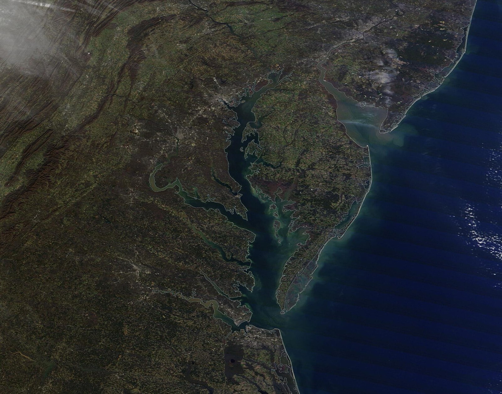

Our Chesapeake Bay map with states, rivers and cities is on the map page. Here we list what is on it.
Quick answer: A Chesapeake Bay map with states shows six states and D.C. in the watershed. The main rivers are the Susquehanna, Potomac, James, Rappahannock and York. The Bay runs about 200 miles, from Havre de Grace to Virginia Beach.
Contents
States
The watershed covers parts of Delaware, Maryland, New York, Pennsylvania, Virginia and West Virginia, and all of the District of Columbia.[1]
Rivers
| River | Length |
|---|---|
| Susquehanna | Over 440 miles |
| Potomac | About 405 miles |
| James | About 348 miles |
| Rappahannock | About 195 miles |
| Patuxent | About 115 miles |
| Choptank | About 65 miles |
| Nanticoke | About 64 miles |
| Patapsco | About 39 miles |
| York | About 34 miles |
Source: Chesapeake Bay Program.[1] The Susquehanna gives about half of the fresh water that flows into the Bay.[1]
Cities
The Bay starts at Havre de Grace, Maryland. It ends at Virginia Beach, Virginia.[2] Its two big ports are Baltimore and Hampton Roads.[3]
Use Our Map
Our map shows the Bay towns and tide stations. Tap a station. You will see today’s tides.
Frequently asked questions
What states touch the Chesapeake Bay watershed? Delaware, Maryland, New York, Pennsylvania, Virginia, West Virginia and D.C.
What is the biggest river flowing into the Chesapeake Bay? The Susquehanna, over 440 miles long, gives about half the Bay’s fresh water.
Where does the Chesapeake Bay start and end? At Havre de Grace, Maryland, and Virginia Beach, Virginia.
References
- [1] Chesapeake Bay Program, The Watershed – last checked 11/08/2026
- [2] Chesapeake Bay Program, Bay Facts: Geography – last checked 11/08/2026
- [3] Chesapeake Bay Program, Bay Facts – last checked 11/08/2026
Open the interactive map.